

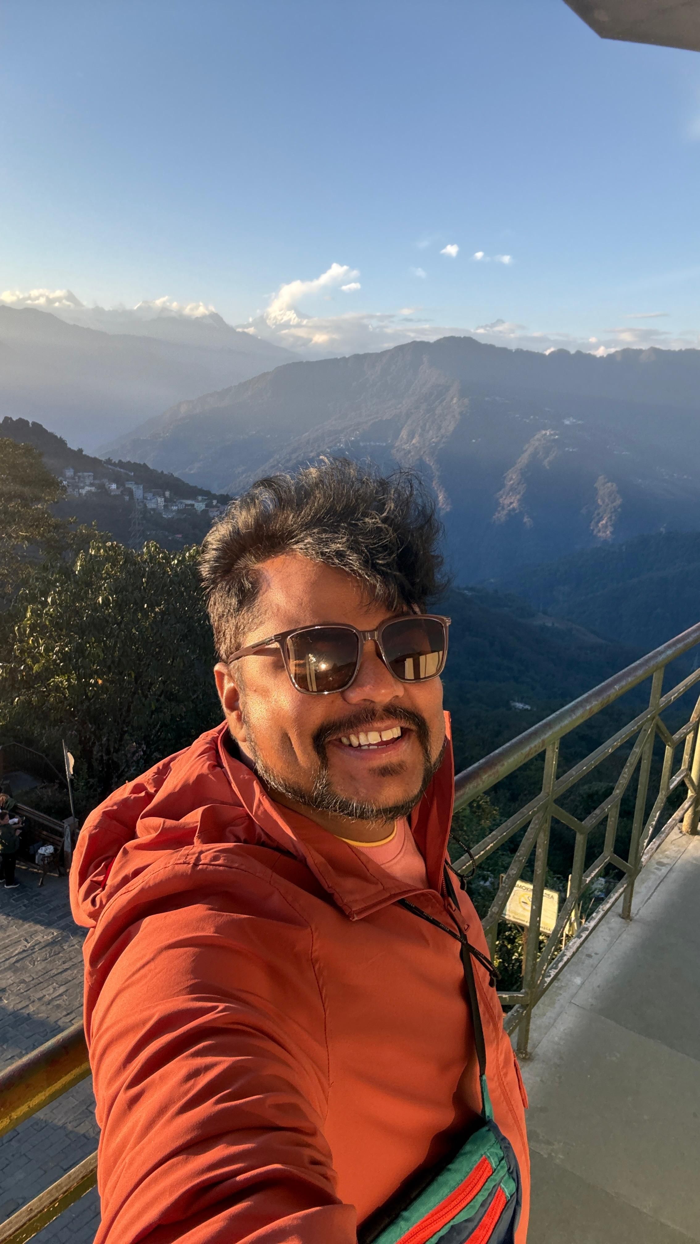
Take us right back to the start — what first pulled you toward seeing the world from the air?
I think it started with curiosity — the desire to see familiar places from a completely different perspective. I had always been fascinated by photography and travel, but when I discovered drones, I realized I could tell stories in a way that wasn’t possible from the ground. The first time I saw a landscape from above, I was amazed by how ordinary things could suddenly look completely different — roads became patterns, rivers became lines, and the relationship between people, nature and the landscape became much more visible.
Do you remember the very first time you sent a drone up and brought back a frame that made you fall for this craft? Tell us about that moment.
Yes, I remember that feeling. The first time I sent a drone up, I was honestly more excited about seeing the world from that height than about getting the “perfect” photograph. When I brought it back and looked at the footage, something just clicked. Places that I had seen countless times from the ground suddenly had completely different shapes, patterns and stories from above. Roads, buildings, rivers and even everyday life started looking like compositions. I remember thinking, “There’s so much more to photograph when you change your perspective.”
How did you learn to read a landscape from above — through a mentor, a community, a lot of trial and error, or something else?
It has been a combination of trial and error, observation, and a lot of preparation. I never really had a single mentor who taught me how to read a landscape from above. A lot of it came from spending years flying, making mistakes, and slowly understanding what works and what doesn’t. One thing that has become a big part of my process is Google Maps and satellite imagery. Before visiting a location, I often explore it from above virtually — looking at the shape of rivers, roads, coastlines, settlements, bridges, fields and interesting patterns. Sometimes I’ll spot a composition on the map that I would never notice from the ground.
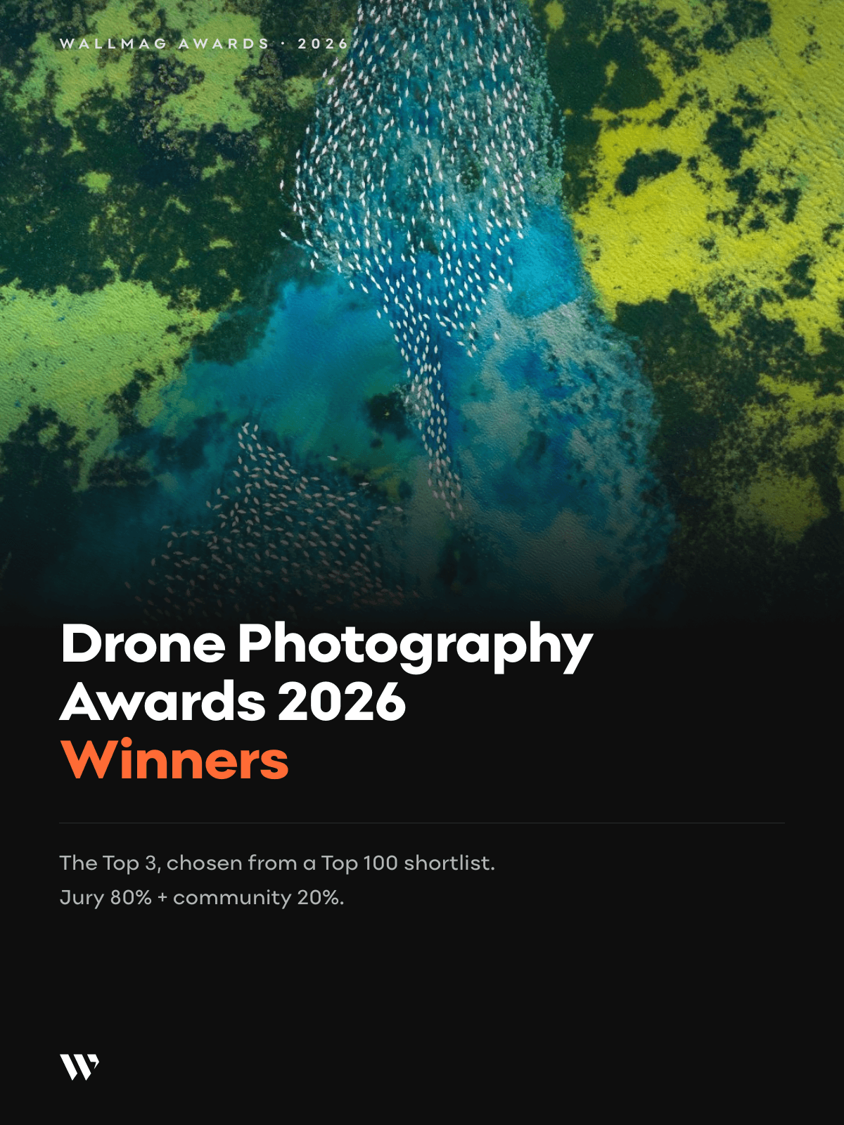
What's the story behind your award-winning aerial frame, 'A River of Contrasts'?
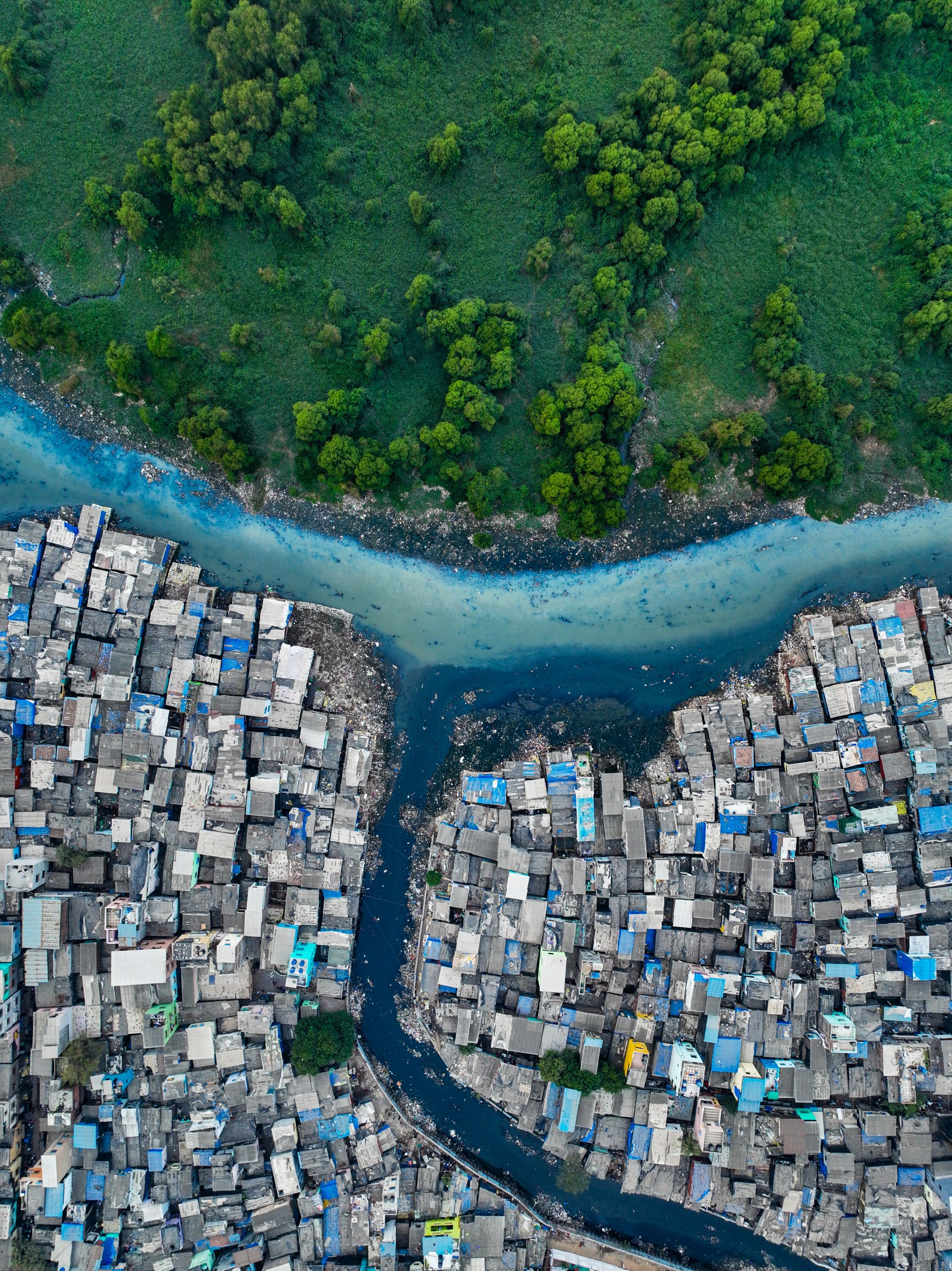
What caught my eye was the contrast. From the ground, the area feels like a dense urban landscape, but from above, I suddenly saw this narrow river cutting through the settlement and separating two very different worlds. On one side was the dense cluster of homes, tightly packed together, while on the other side there was a surprising patch of green and open land. The river became this natural line between them — almost like a boundary, but one that nature never really intended to create. I was drawn to the way the river curved through the frame and how the houses, water and greenery created such a strong geometric composition. The more I looked at it, the more I felt that the photograph wasn't just about the landscape; it was about the contrast between nature and urban life, and how closely the two exist together in Mumbai. That was the moment I knew I had the frame I was looking for, so I held the drone steady and pressed the shutter.
Which drone do you reach for most often, and what does it let you capture that nothing else could?
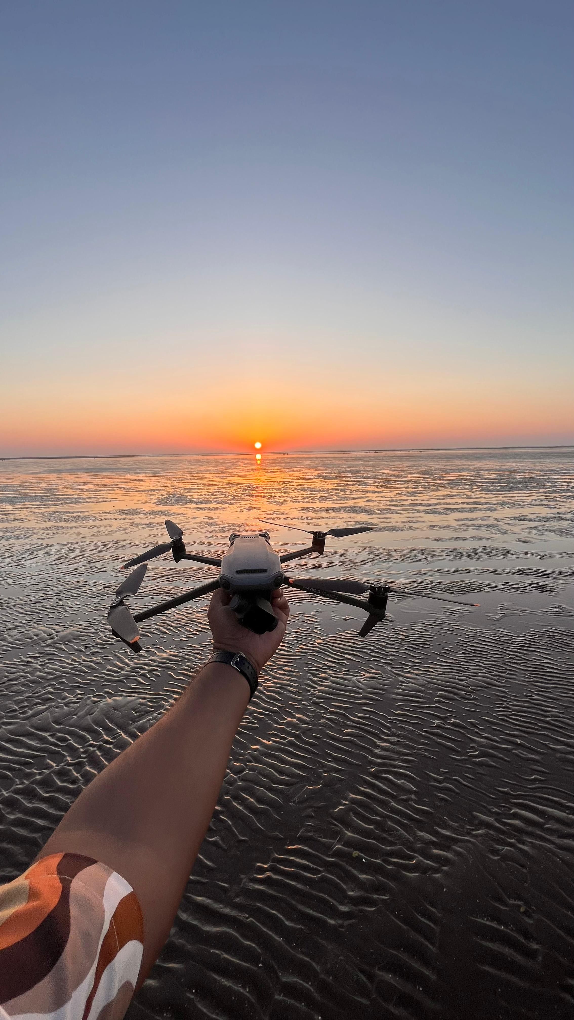
The drone I reach for most often is the DJI Mavic 3, and it has become an essential part of my aerial photography journey. Technically, what I really appreciate is its large 4/3 CMOS Hasselblad camera sensor, which gives me excellent image quality, dynamic range and detail. That becomes especially important when I’m shooting landscapes with strong contrasts between highlights and shadows, or when I’m working during sunrise and sunset. Its long flight time and reliable battery performance also make a big difference. When I’m travelling or working in a remote location, I can spend more time exploring a composition and waiting for the right light instead of constantly worrying about landing and changing batteries. But beyond the specifications, what the Mavic 3 really gives me is freedom. I can travel with a relatively compact setup and still capture incredible scale, patterns, textures and perspectives that simply aren't possible from the ground. A winding river, a highway interchange, a coastline or a dense urban neighbourhood can completely transform when viewed from above. The Mavic 3 isn't just the camera I use — it has become a tool that has changed the way I see and photograph the world.
Where was this frame taken, and why has that particular flight stayed with you?
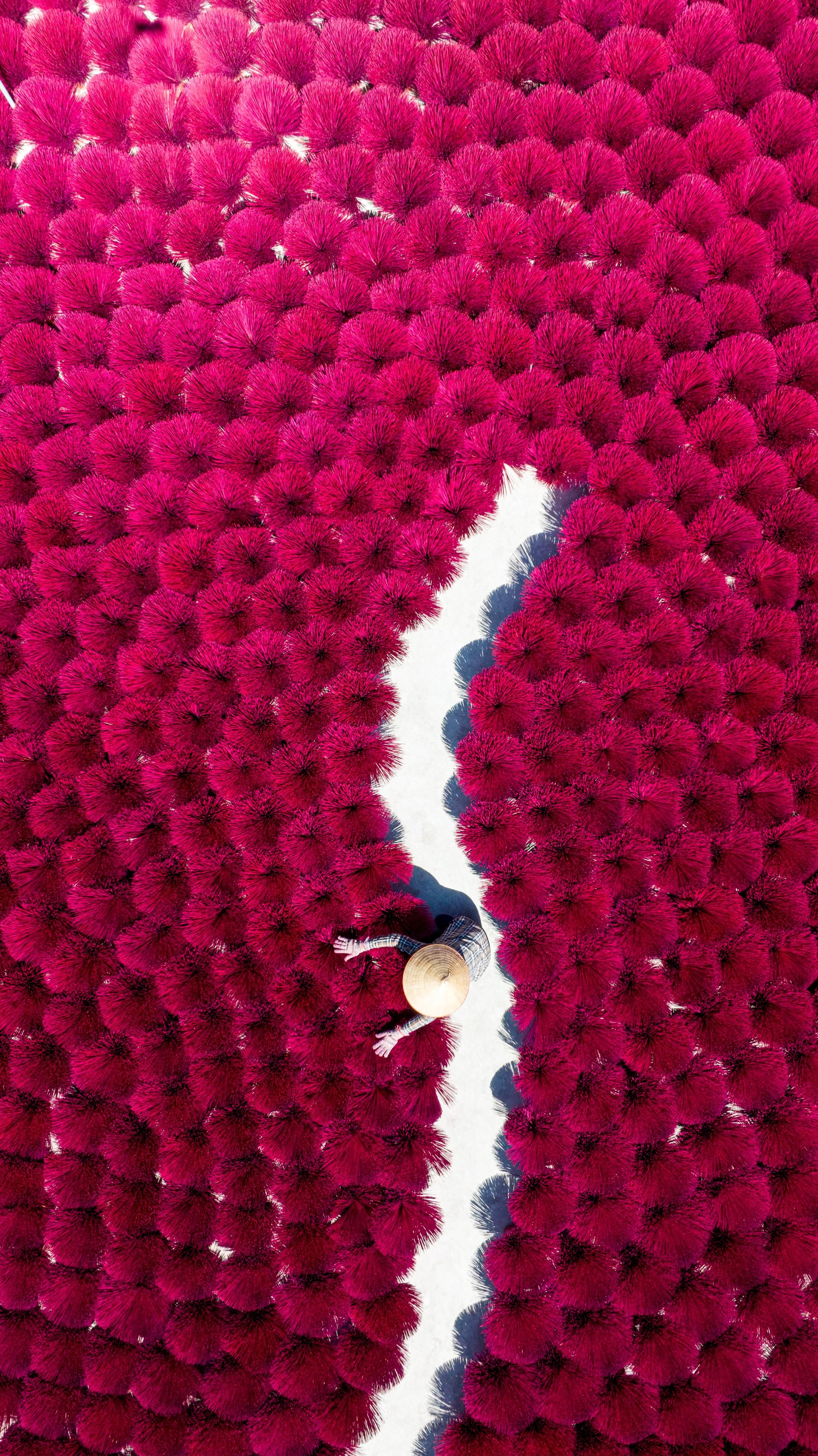
This was taken at Quang Phu Cau Incense Village, near Hanoi, Vietnam, a place known for its traditional incense-making craft. What stayed with me about this flight was the transformation that happened when I looked at the village from above. On the ground, you see people making incense and bundles of bamboo sticks, but from the air, those everyday materials became a completely different visual language — almost like a giant abstract painting. The intense pink and red incense sticks created this incredible texture across the frame, while the narrow white pathway cutting through the middle gave the composition a strong sense of direction. Adding the person into the frame gave the image a sense of scale and reminded me that behind this beautiful pattern is a real traditional craft and a community of people. I think this flight stayed with me because it captured exactly what I love about aerial photography: taking something ordinary and revealing an extraordinary perspective that you simply cannot see from the ground.
Your work often lives where human life and the natural world meet, seen from above. What's the story in this particular frame?
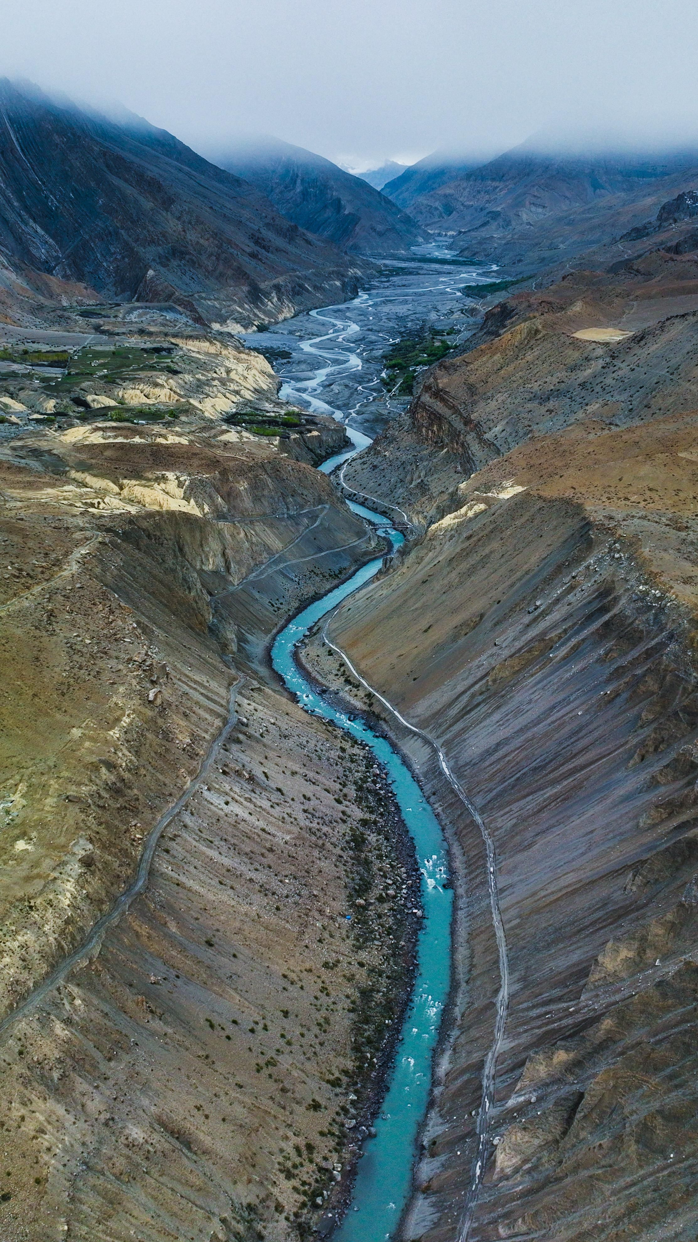
This photograph was taken in Chembur, Mumbai, and it’s probably one of the frames that best represents why I love aerial photography. From above, I saw a river-like water channel winding through an extremely dense urban settlement. On one side, there was this unexpected stretch of lush green landscape, while on the other, hundreds of closely packed homes filled the frame. The contrast was almost impossible to miss. What struck me was how the water seemed to become a natural boundary between two completely different environments — nature on one side and intense human habitation on the other. But at the same time, they were existing right next to each other. I wanted the composition to communicate that contrast without needing any explanation. The river became the visual line connecting everything — nature, human settlement, and the reality of how a city grows around its natural landscape. That’s why I called the photograph “A River of Contrasts.” From the ground, you might simply see a densely populated neighbourhood. From the air, you begin to see a much larger story about the relationship between people, nature and the city.
What direction is your work heading next, and what's exciting you about it right now?
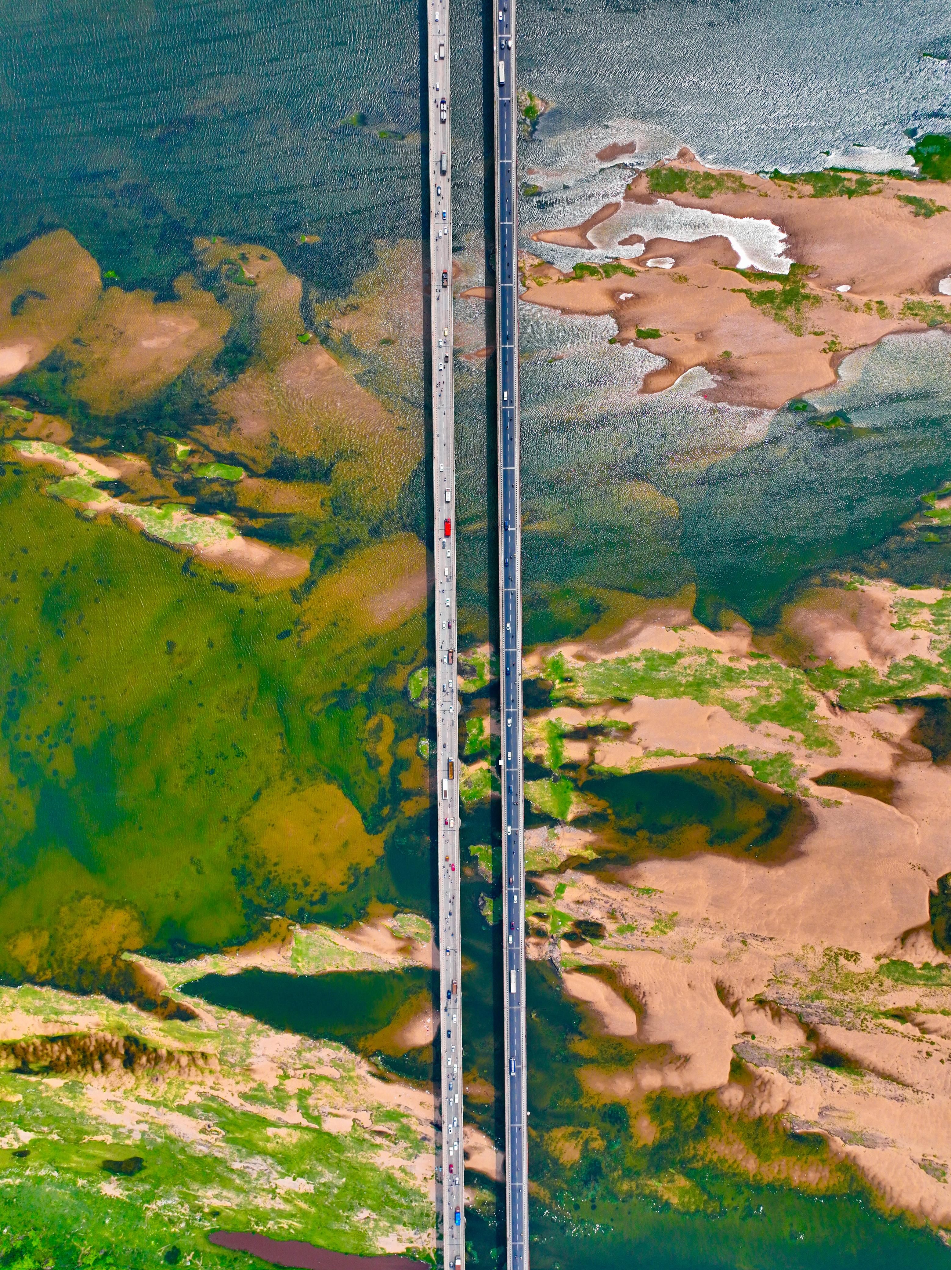
Right now, what excites me most is the idea of going beyond simply photographing beautiful places and discovering stories that people might otherwise overlook. I want to keep exploring new landscapes, but I’m also becoming more interested in human stories, changing environments and the relationship between people and the places they live in. Sometimes that could be a remote landscape, sometimes a busy city, a coastline, a highway or even an everyday place that looks completely different from the air. I’m also experimenting with seeing how I can fly differently — not always looking for the obvious wide aerial shot, but searching for patterns, minimal compositions, textures, scale and unexpected perspectives. After years of flying, I think the challenge now is not simply “Where can I fly next?” but “What can I see that I haven't seen before?” That curiosity is what keeps me excited. There are still so many stories on the ground waiting to be discovered from the sky.
You've been ranked among India's top drone photographers this year. What does that recognition mean to you?
Honestly, this recognition means a lot to me because drone photography has never felt like just a profession or a way of creating images. It has become a way for me to explore, observe and tell stories from a perspective that people don't usually get to see. Being recognised among India’s top drone photographers is incredibly humbling, especially because there are so many talented photographers creating exceptional work across the country. It tells me that the time I’ve spent travelling, experimenting, learning and sometimes simply waiting for the right light is starting to connect with people. At the same time, I see it less as an achievement to stop at and more as motivation to push myself further. I want to keep finding new perspectives, new stories and new ways of using the drone as a creative tool. And winning 3rd place at the WallMag Drone Photography Awards 2026 makes this recognition even more special. I’m genuinely grateful to everyone who has supported my work and been part of the journey.
Contact and Follow
Email: akshaykanade46@gmail.com
Instagram: https://www.instagram.com/the_candyology/